A New Era of Unmanned Capability in Reidsville
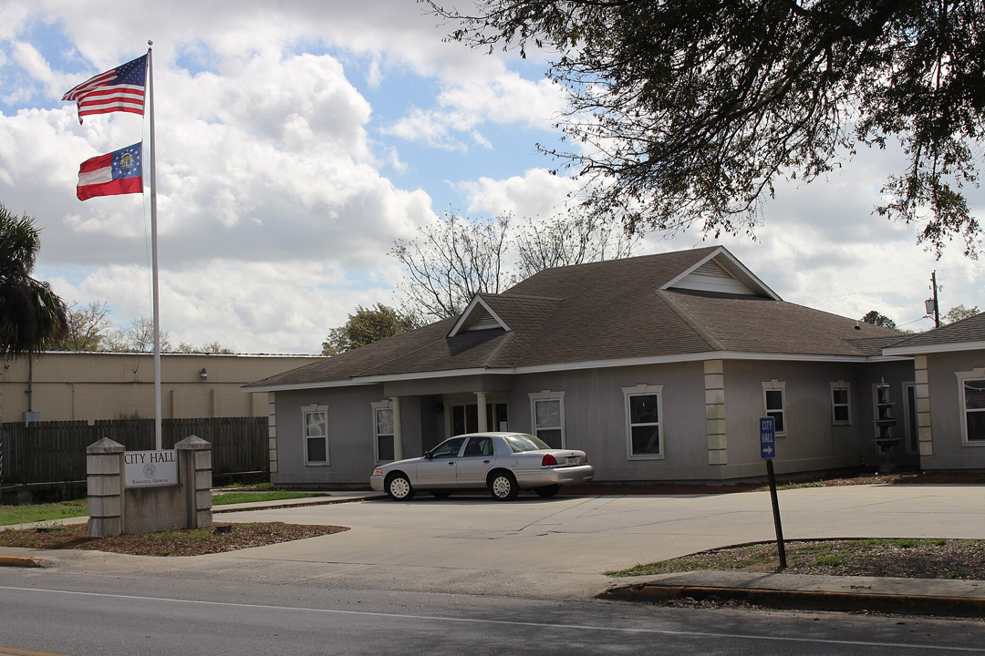
Welcome to the Reidsville operations hub of Fair Lifts Unmanned Aerial Services. In a region where the legacy of the Georgia Coastal Plain meets modern industrial demand, we bridge the gap between high-level aerospace technology and local operational needs. Reidsville is more than just a historic crossroads in Tattnall County; it is an essential engine for Georgia’s timber, poultry, and vegetable production. From the expansive onion fields near Glennville to the vital infrastructure corridors that knit our county together, Fair Lifts provides the technical expertise necessary for regional enterprises to optimize their output and safeguard their assets.
Our philosophy is centered on the transformation of raw data into decisive action. For far too long, aerial drones have been categorized as simple photography tools—novelties that provide a view but lack substance. Fair Lifts is redefining the category. We have transitioned the unmanned aerial vehicle (UAV) from a peripheral gadget to a centerpiece of industrial infrastructure. With a background firmly established in aviation safety and complex logistics, we ensure that every flight over Reidsville soil is conducted with clinical accuracy and a profound respect for the unique atmospheric conditions of the Coastal Plain.
Cultivating Success in Tattnall County’s Diverse Landscapes
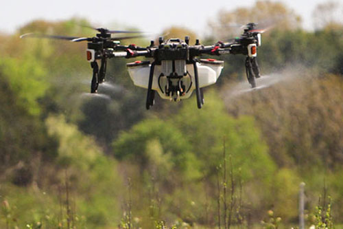
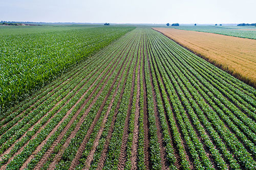
Agriculture remains the lifeblood of Reidsville and the surrounding Tattnall landscape. Our local producers manage some of the world's most unique acreage, including the sensitive sands required for the world-famous Vidalia onion. However, the Coastal Plain’s sandy-loam soils and intense humidity create a volatile environment. Sudden afternoon deluges in Tattnall County can render fields inaccessible to heavy machinery in an instant, leaving crops vulnerable to pests and blight while tractors sit idle. Fair Lifts provides the solution. As "Aerial Access Experts," our high-capacity application drones operate independently of ground conditions, delivering essential nutrients and crop protection to the canopy exactly when the biological window is narrowest.
Furthermore, we are dedicated protectors of South Georgia’s ecological integrity. With the Altamaha River basin serving as a critical environmental landmark nearby, land management requires a sophisticated, low-impact touch. Our environmental team specializes in the targeted eradication of invasive flora like Cogongrass and Chinese Tallow without the heavy-handed soil compaction or chemical drift associated with traditional methods. Utilizing survey-grade multispectral sensors, we identify infestations with surgical precision, ensuring our interventions are both high-impact for the target and low-impact for the Tattnall County ecosystem. We are invested in more than just a job site; we are invested in Reidsville’s legacy.
High-Stakes Geospatial Intelligence and LiDAR
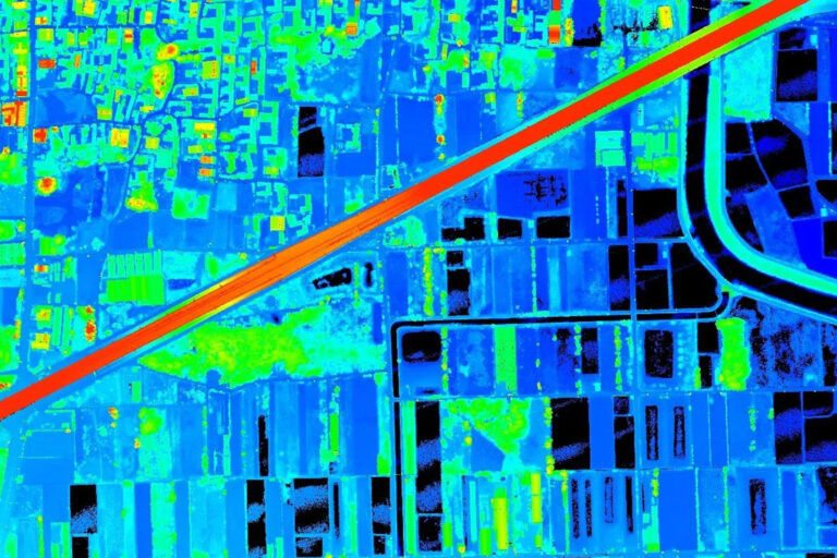
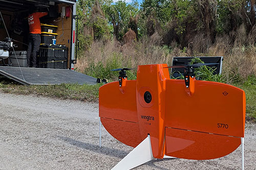
As Reidsville sees new growth in its industrial and timber sectors, the requirement for flawless geospatial data has never been higher. Whether surveying a new poultry processing facility or conducting a corridor inspection for regional energy providers, there is no room for approximation. Fair Lifts Survey & Mapping Services provides the definitive vertical and horizontal data required for engineering-grade confidence. By deploying Blue UAS-certified platforms such as the WingtraOne Gen II and Riegl LiDAR sensors, we penetrate the dense South Georgia pine canopies to reveal the true topography beneath.
Our dedication to Reidsville includes a rigorous focus on data sovereignty and security. In an era of digital vulnerability, we prioritize the shielding of our clients' sensitive infrastructure data. Our Blue UAS status confirms that we meet the highest Department of Defense standards for supply chain security and end-to-end encryption. When we map a Tattnall County utility grid or a private timber estate, your intelligence remains confidential and secure. We offer more than just coordinates; we provide the certainty that comes from professional, secure, and world-class aerial intelligence.
We invite you to consult with our specialists to see how Fair Lifts is reshaping the horizon and the profitability of Reidsville, GA. Our roster of project managers, agronomists, and certified pilots is prepared to solve your most complex logistical hurdles. In Tattnall County, we don’t just watch the sky—we own the results.
Regional Footprint
Local Mobilization
Our regional crew is based locally, providing rapid sub-24 hour response times for Tattnall, Tift, Mitchell, Brooks, and Worth counties.
Request Local Response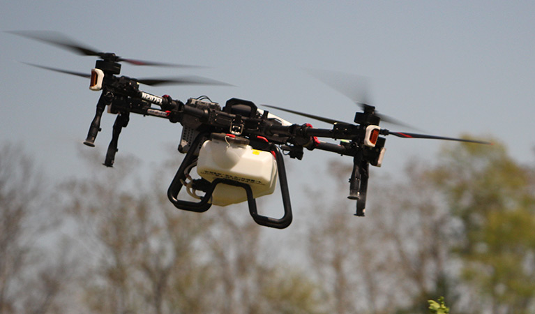
Ready to Start Your Project?
Discuss your specific goals in Reidsville with a regional expert. We provide rapid mobilization and precision scoping for every regional client.