
A Systematic Approach to Autonomous Excellence
Welcome to the Reidsville Ag Drones project intake portal. In the heart of Tattnall County, securing a quote for industrial-scale UAV services is more than a line item—it is the beginning of a technical partnership designed to optimize your harvest, safeguard your infrastructure, and ensure regulatory precision. Our project leads are more than coordinators; they are regional specialists based right here in the Coastal Plain, equipped to translate your operational hurdles into a streamlined, data-backed flight plan.
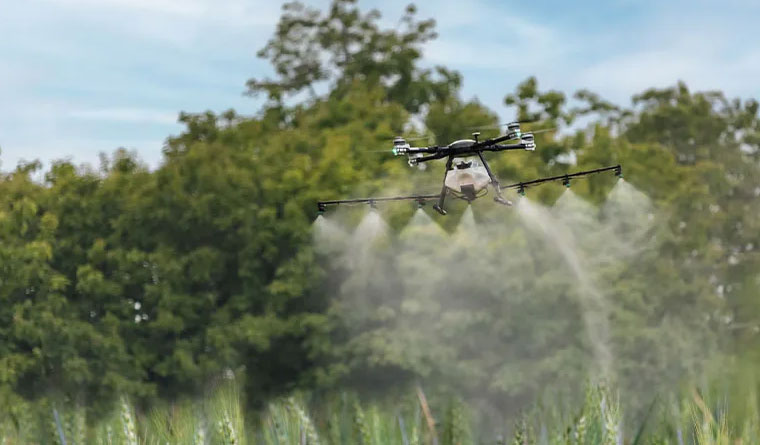
The Tattnall County business and farming sectors move with the pulse of the seasons and the demands of South Georgia commerce. Whether you are overseeing a world-class Vidalia onion crop during a tight spray window or a developer requiring high-resolution topographic data for a site near Highway 280, we understand that timing is everything. Our "Assess. Mobilize. Deliver." protocol is engineered to provide every client with an experience that is rapid, transparent, and focused on measurable results.
The Reidsville Ag Drones Workflow
Phase 01: The Coastal Plain Consultation
Every mission begins with a deep-dive into the local landscape. For our agricultural partners, this involves a thorough review of your acreage, crop varieties (from tobacco and onions to managed pine timber), and current environmental pressures. For our industrial and civil engineering clients, we assess site dimensions, required tolerances, and specific data integration needs. We reject the "one-size-fits-all" mentality. In our region, variables like sandy-loam drainage patterns, high humidity, and local airspace proximity are integral to our flight planning and mission success.
Phase 02: Tactical Execution
With a finalized plan in hand, our expert pilots take to the field. Because we are based locally in Reidsville, we offer a level of responsiveness that out-of-state contractors simply cannot match. We utilize a fleet of premier technology tailored for the task, including the high-capacity XAG P150 for precise applications and Blue UAS certified WingtraOne platforms for advanced mapping. Our operations follow a strict safety culture adapted from commercial aviation, ensuring every square inch is covered with centimeter-level accuracy while respecting local land-use protocols.
Phase 03: Actionable Intelligence
The flight is only the beginning; the real value lies in the data. For aerial application jobs, we provide comprehensive "As-Applied" documentation, giving you verified proof of coverage and dosage. For surveying and inspection, we deliver professional-grade 3D models, LiDAR clouds, or orthomosaics in the GIS and CAD formats necessary for your existing workflow. We conclude every project with a review session to ensure the deliverables align perfectly with your bottom-line objectives.
Investing in Tattnall County’s Future
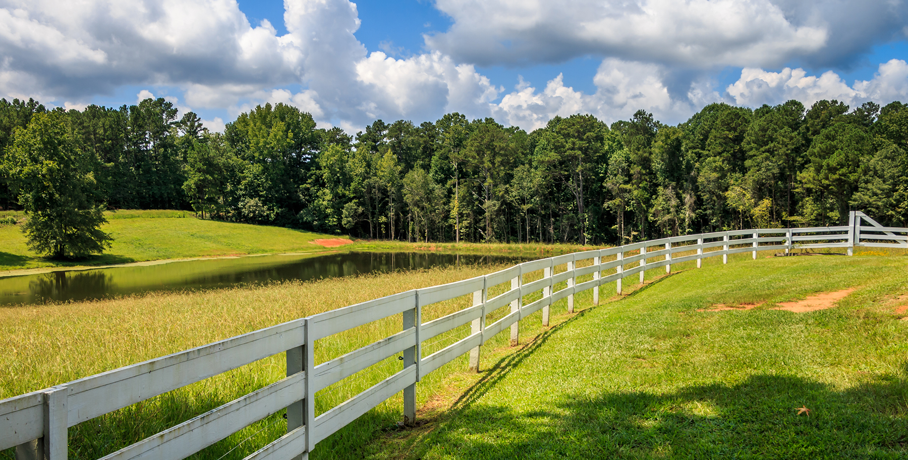
Our presence in Reidsville is a long-term commitment to the prosperity of the Tattnall County economy. We aim to be a staple of the local agricultural community, which is why we provide specialized multi-season and multi-pass incentives for regional growers and industrial firms. By securing your service windows ahead of time, you gain priority access during those frantic South Georgia summer weeks when equipment demand is at its peak. We serve as your year-round technology wing, managing the complex hardware and data so you can focus on running your operation.
Frequently Asked Questions
Project Intake Form
Reidsville Regional Office
Ready to Start Your Project?
Discuss your specific goals in Reidsville with a regional expert. We provide rapid mobilization and precision scoping for every regional client.