Safeguarding the Ecological Heritage of Reidsville and Beyond

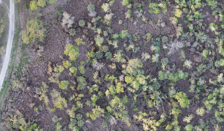
The landscapes surrounding Reidsville represent the very soul of the Georgia Coastal Plain. From the blackwater curves of the Altamaha and Ohoopee Rivers to the vast pine silviculture that defines Tattnall County, our natural assets are the foundation of our local way of life. Reidsville Ag Drones operates on the conviction that high-tech innovation is the best tool for environmental defense. We provide a forward-thinking, analytical strategy for land management, navigating the delicate balance between resource utilization and the preservation of our regional ecology.
Effectively overseeing the dense flatwoods and river basins of South Georgia requires equipment that offers both power and finesse. Traditional ground-based machinery often inflicts unintended damage on these sensitive terrains; heavy treads can lead to lasting soil compaction, disrupt the natural flow of groundwater in sandy soils, and inadvertently transplant invasive seeds. Our "zero-footprint" aerial approach offers a superior alternative. By deploying high-end unmanned aircraft, we facilitate complex restoration and mitigation efforts with surgical accuracy, ensuring the land remains undisturbed during the process.
Structural Integrity: Winter Weather Mitigation
While the Coastal Plain is known for its heat, erratic winter weather can bring sudden ice events that jeopardize large-scale facilities. For asset managers in the Reidsville area, a significant freeze is a major structural threat. Large-span buildings—ranging from industrial warehouses to expansive commercial poultry houses—are designed for specific weight tolerances. When ice accumulates rapidly, it can lead to catastrophic roof failures, buckling supports, and significant financial loss.
Our drone-based mitigation service replaces the high-risk necessity of manual ice removal. Sending personnel onto a frozen, precarious roof is a massive safety liability. We utilize purpose-built drones to distribute de-icing agents like urea or calcium chloride with total uniformity. This process severs the bond between the ice and the roofing material, allowing for controlled melting or safe shedding. We provide stakeholders with comprehensive digital logs of the application, proving that proactive measures were taken to protect the facility and its occupants.
Optimizing Solar Energy Infrastructure
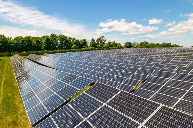
The solar footprint across Tattnall County is expanding as we embrace renewable energy. However, a solar installation is a sensitive asset that requires rigorous maintenance to ensure a return on investment. Rapid vegetation growth—a hallmark of our humid climate—can shade photovoltaic cells and create dry fuel loads that pose fire risks. Reidsville Ag Drones acts as a dedicated partner in solar performance, offering end-to-end aerial management throughout the lifecycle of the site.
In the establishment phase, our spreader drones ensure even distribution of specialized grasses to prevent erosion in our sandy Coastal Plain soils. Once the site is live, we provide targeted herbicide applications to eliminate woody brush without harming the underlying ground cover. Our GPS-guided systems ensure that chemicals are used sparingly and with total precision. Additionally, we offer specialized panel cleaning using purified water and gentle solutions, restoring maximum energy output without the risk of micro-cracks often caused by high-pressure manual washing rigs.
Strategic Vegetation Management & Prescribed Burn Support
Forestry is the economic engine of Tattnall County, but the period following a clear-cut presents significant management hurdles. Post-harvest sites are often cluttered with debris and aggressive regrowth that makes ground access nearly impossible. If left unmanaged, this volatile brush can derail reforestation schedules. Reidsville Ag Drones provides the essential aerial capability needed to transition land from a harvested site back to a productive forest.
We fly where tractors cannot venture. Our systems navigate over obstacles and wetlands to apply desiccation treatments that dry out fine fuels. This creates a more predictable environment for prescribed burns, allowing for a safer and more uniform fire that clears the way for new growth. By suppressing competition from invasive shrubs without disturbing the soil, we provide your seedlings with the optimal environment for survival, often helping your acreage qualify for reforestation incentives and environmental credits.
Eradication of Invasive Species & Land Reclamation
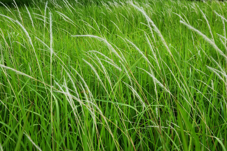
Biological threats like Cogongrass and Phragmites are more than just a nuisance; they devalue land, choke out native forage for livestock, and destroy local wildlife habitats. In the Coastal Plain, Cogongrass is a particularly fierce competitor, creating thick underground mats that fuel intense, dangerous wildfires. Standard eradication efforts often fall short because they lack the comprehensive coverage or the precision required to kill the root systems of these resilient plants.
At Reidsville Ag Drones, we replace guesswork with data. Every reclamation project begins with high-resolution multispectral imagery to map the exact boundaries of the infestation. We then program our UAVs to treat only the affected zones, reducing chemical usage by as much as 70% compared to traditional boom-sprayers. For delicate wetland areas along the Altamaha River, we can target invasive Phragmites with pinpoint accuracy, protecting the surrounding native vegetation. We provide the verifiable data reports necessary for government grant compliance and environmental permit requirements.
Regional Expertise
Altamaha & Ohoopee Basins
Customized wetland management and aquatic invasive control for Tattnall County waterways.
Forestry Optimization
Fuel load reduction and precision spraying for sustainable timber rotations in the Coastal Plain.
Cogongrass Remediation
Long-term eradication strategies for landowners and ranchers reclaiming infested pastures.
Mitigation Credits
We serve as a primary contractor for wetland mitigation banks and USDA-funded conservation programs. Our drones provide the high-resolution surveying and precise implementation required to secure and maintain valuable environmental restoration credits.
Request Site Assessment